The Boom Years:
1945–1970
REALTOR® City Map
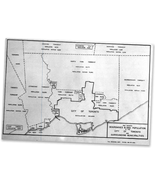
In 1956, a REALTOR® city map cost a dime and a detached two-storey Forest Hill home was about $30,500. It was all about neighbourhoods – schools, churches, stores and streetcars. But the city was rapidly changing. In 1954, the north to south stretch of the subway system was completed from Union Station to Eglinton Station. This line was followed by the construction of the Bloor–Danforth and University Avenue subways, connecting the core to the suburbs to the east and west. It meant people could get around the city faster and more easily. The construction of major highway arteries led to quick growth of nearby communities, including Mississauga, Etobicoke, and Richmond Hill.
Did you know?
- The Union Realty Listing Exchange was established in 1957 as a private profit-making entity. VP and General Manager P. R. Taylor, denied that that his firm wanted to replace the Board, but “we would like to see a relationship more or less like Eaton’s and Simpson’s.” (The Globe and Mail, August 8, 1959)
1952, photograph, City of Toronto Archives